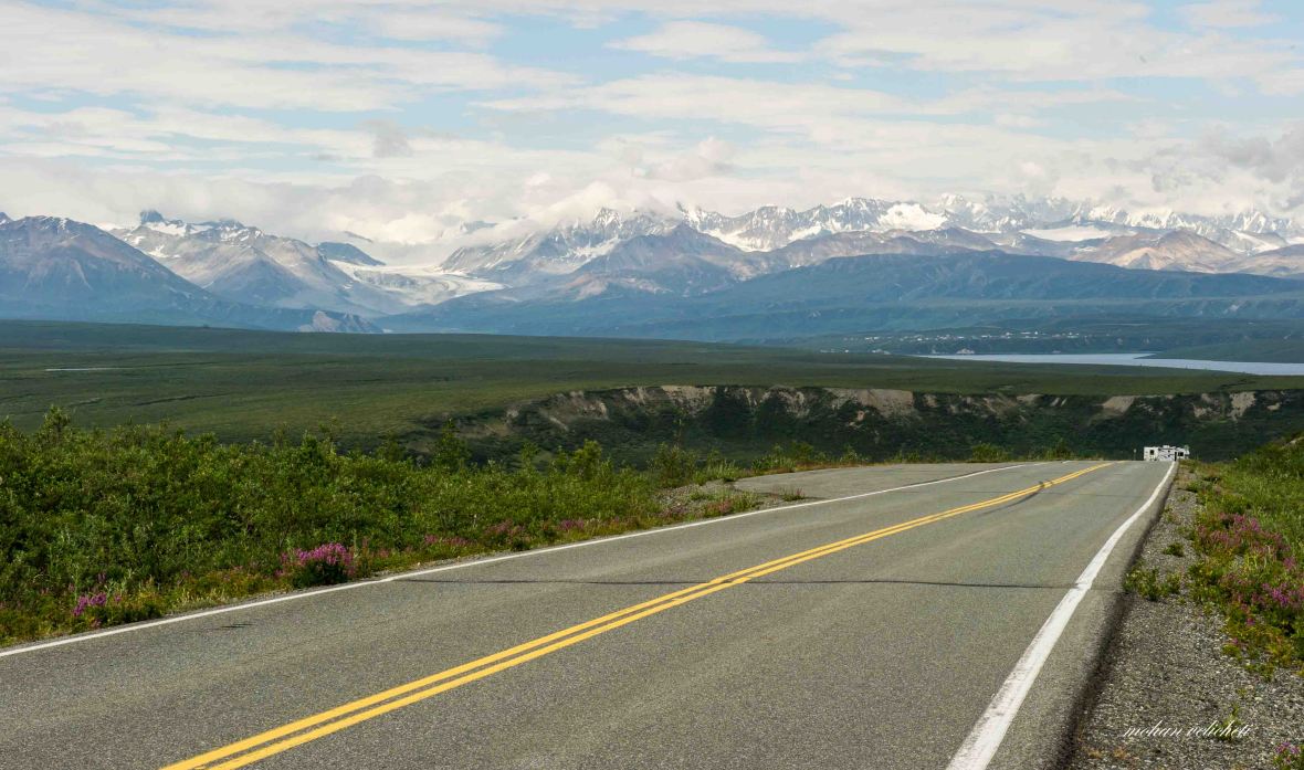
These chiseled peaks of the Alaska Range, their glaciers and the rivers they spawn will shape your adventures on the Denali Highway. Colliding land masses forced up these mountains-then glacial ice, valley-wide and hundreds of feet thick, refined the scene.
As the ice receded, moose, caribou and bear moved into this new land along with the now extinct mammoth and bison. Early Native hunters followed, stalking these migratory animals.
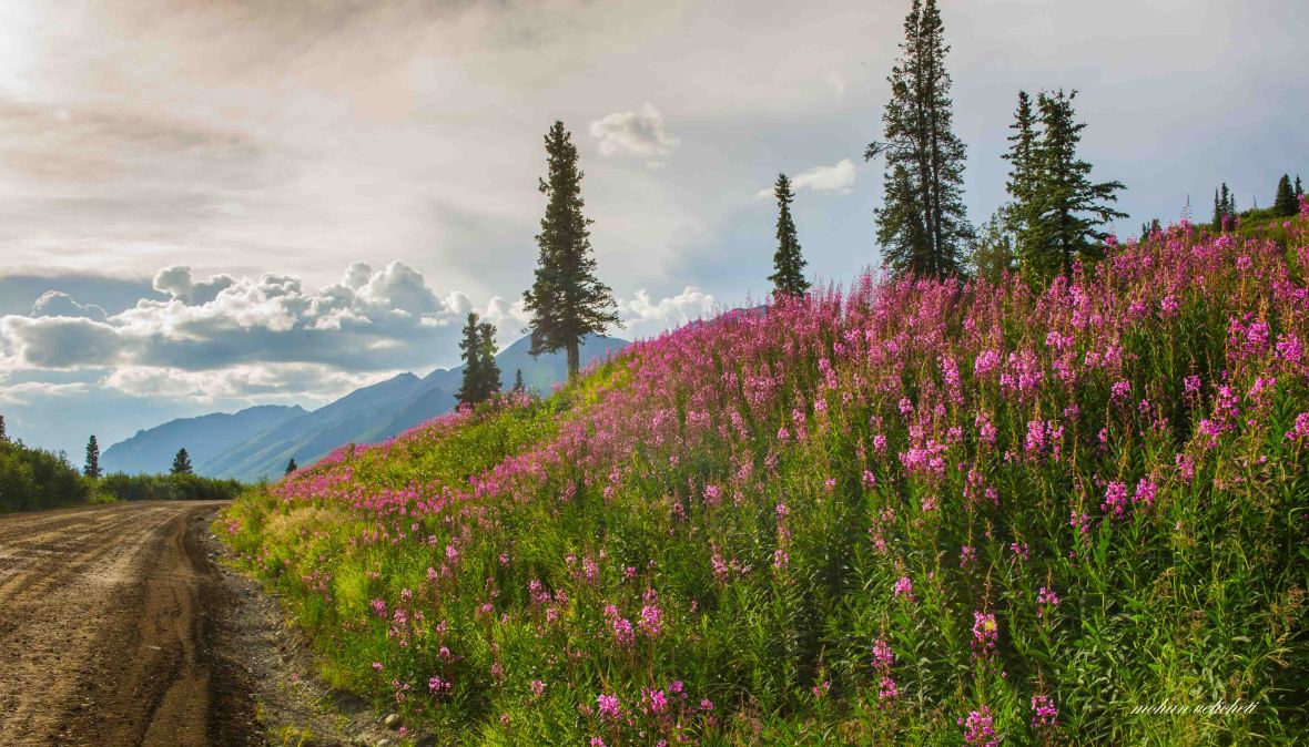
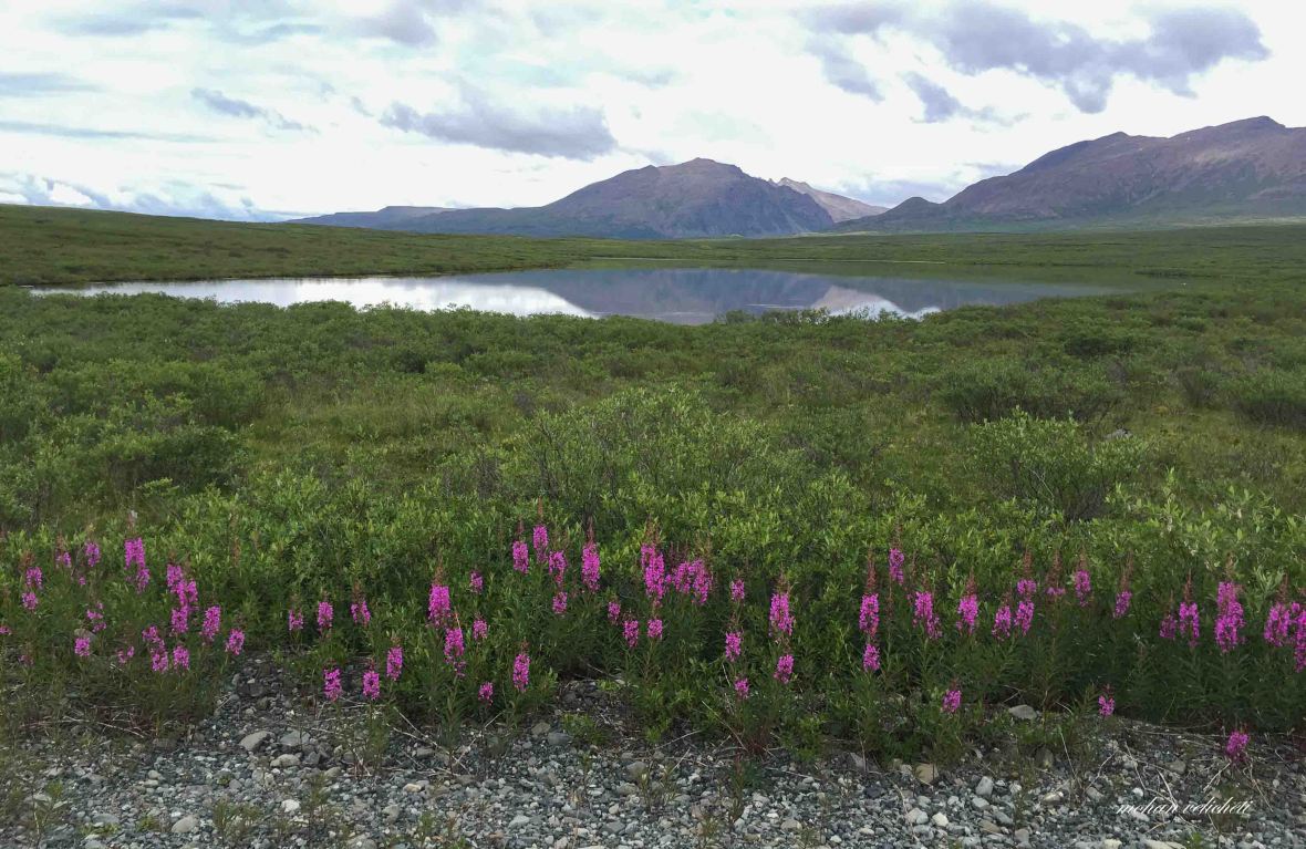
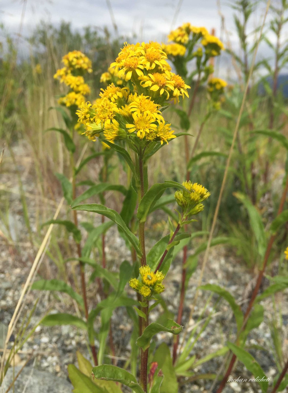
Flashes of summer color- blue lupine, bright pink fireweed and yellow arnica- illuminate the ever-changing tundra. In the cool days of fall, blueberries and cranberries carpet the ground before the snows of September. Pass respectfully through this timeless, dynamic land. – a signboard on Denali highway

With great fulfillment, i decided to call it a day at the Denali National Park. By the time i woke up, Maddy & Co had left the campsite. Adam Tian, the motorbiker from Beijing, with whom i shared the tent site was struggling with his packing. The creek below was flowing with the same force and sound that it had been making all through the night. I made upma for breakfast, relished it as i spoke with Tian, and went to the post office to pack off the extra food to Tok junction. The elderly man at the desk guided me well after i acknowledged that iam using the USPS for the first time, and that i wanted to ship it to myself. When i came back, Adam was ready to leave for Healy. His bike was so heavy that he needed a push to get off the stand. I was baffled by the fact that he is carrying every item in two numbers. Finally, with great relief in my panniers, and still confused as to whether i should go directly to Anchorage or take the Denali highway, i bid adieu to Riley creek campground.
 Riley creek from the bridge on Parks highway. Behind the spruce trees on the right are the Riley creek campground and the visitor center.
It was the second consecutive sunny day of my ride. I pedaled along the shoulder with reasonable car and RV traffic. Observed solar panels and wind generators while crossing the railroad. They are seen on most of the roads in Alaska, may be providing the power to the signals. Mount Fellows to the east constantly changed its colors with shadows of clouds. The air taxi offices repeatedly reminded me that i should have gone for the popular Denali panorama tours. But, thanks to the strong headwind i encountered soon, from Windy gap all the way to Cantwell, the tough ride erased the regretting thoughts.
 silky lustered grass beside the road.
 Crossing Nenana river once again.
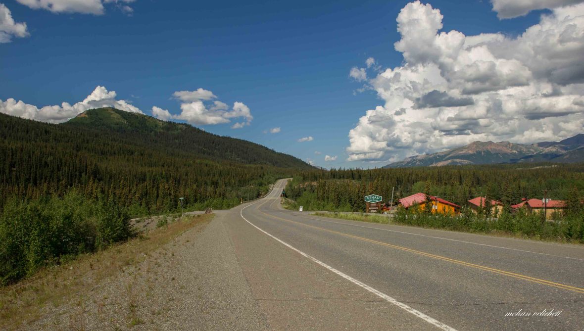
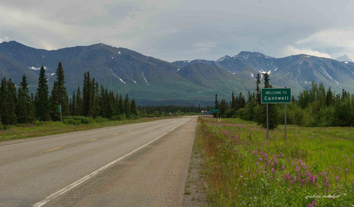 Cantwell with 183 people is service town with dispersed settlemetns, at the junction of Parks and Denali highway.
I stood few minutes at the junction in the style of the last scene of the movie “Castaway”. Rememberd the words of the girl from Talkeetna, “there are great views of the southern side of Denali from the highway to Anchorage, especially from Denali state park and the Talkeetna spur”. The other cyclists and travelers i spoke with, have praised the beautiful vistas of Denali highway. Shaun is already on this highway. According to the guide book, “If you want real wilderness scenery-vast tundra-covered valleys where caribou roam beneath breathtaking snow-covered mountains-then Denali highway is for you.”
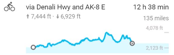
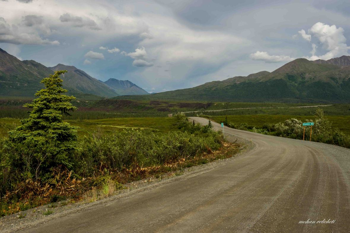
 So, i turned towards Denali highway. The 135 mile long Denali highway links George Parks highway at Cantwell with Richardson highway at Paxson. It was opened in 1957 as the only road connecting the Denali Park (then Mt. McKinley park) until the completion of the Parks highway in 1972.
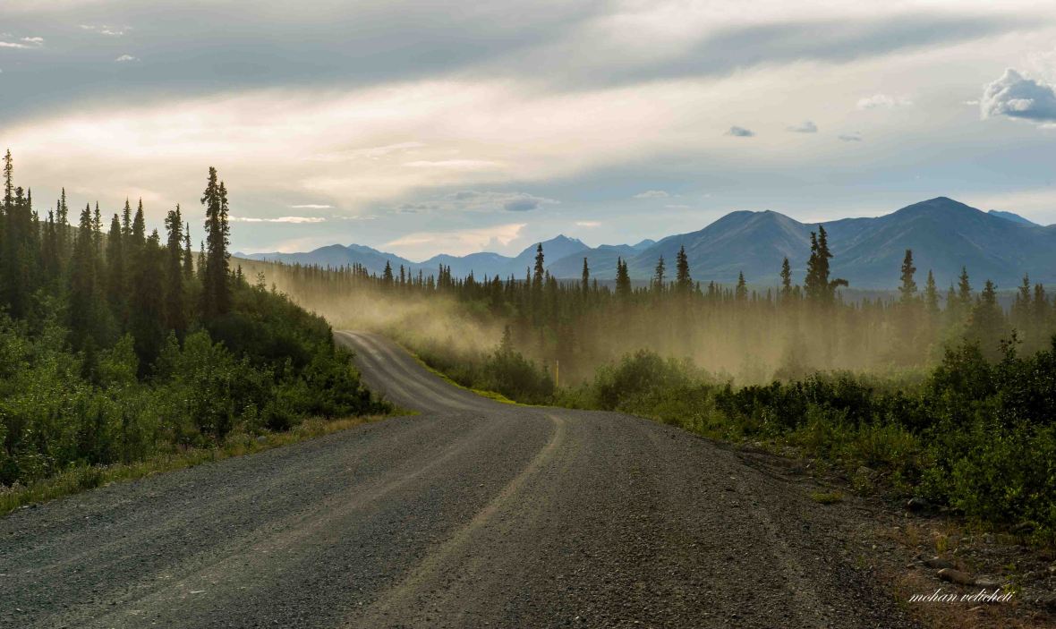
While i was enjoying the ride with all the road to myself, without traffic and without wind, after 3 miles, the surfaced road ended. What was in front of me was dirt road with gravel and washboard.
 These contacts in the metamorphic rocks reminded me of the field work days, especially in Spiti valley of India.
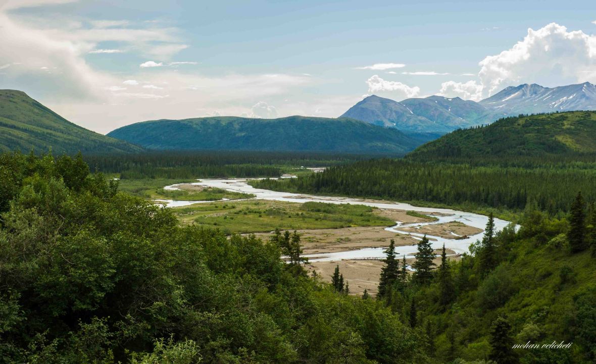
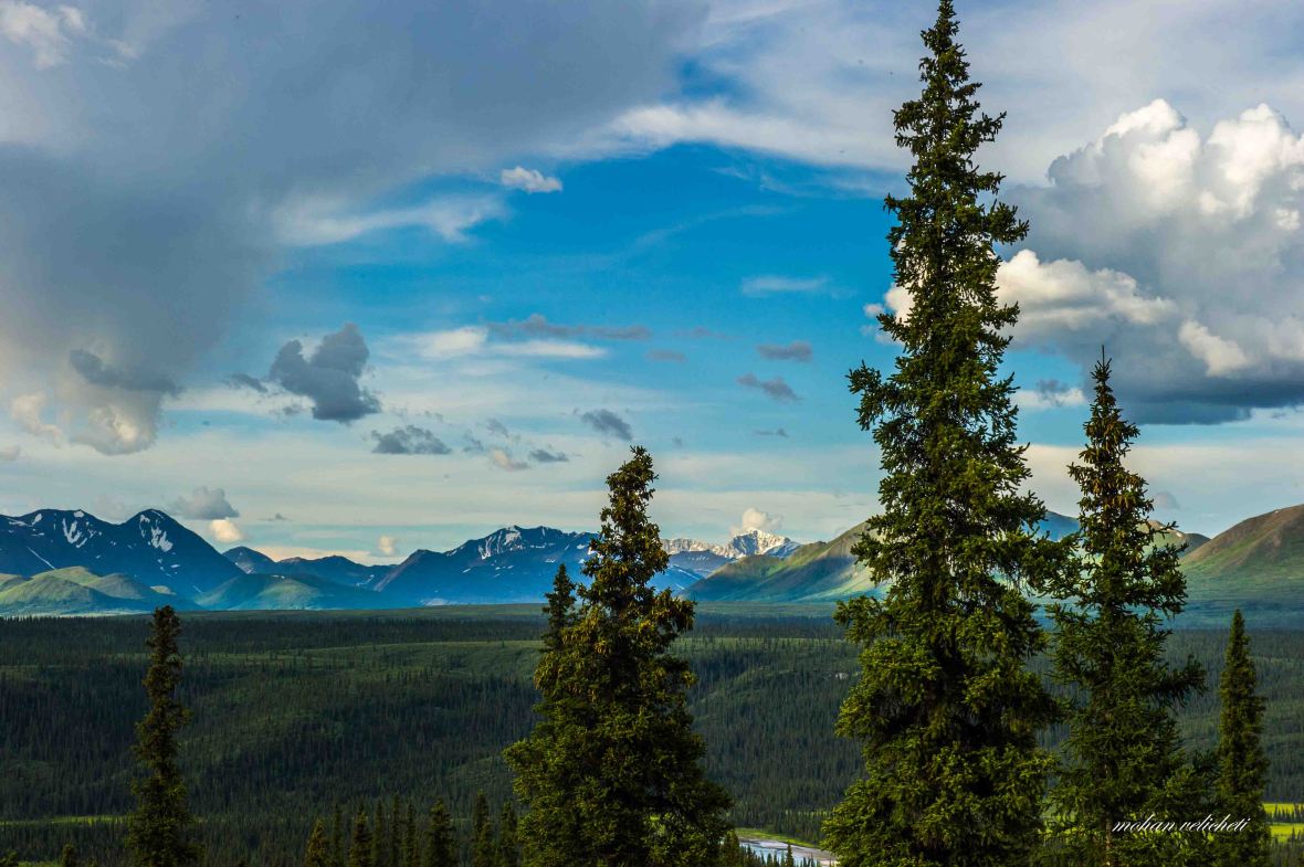
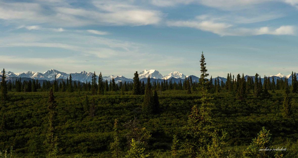
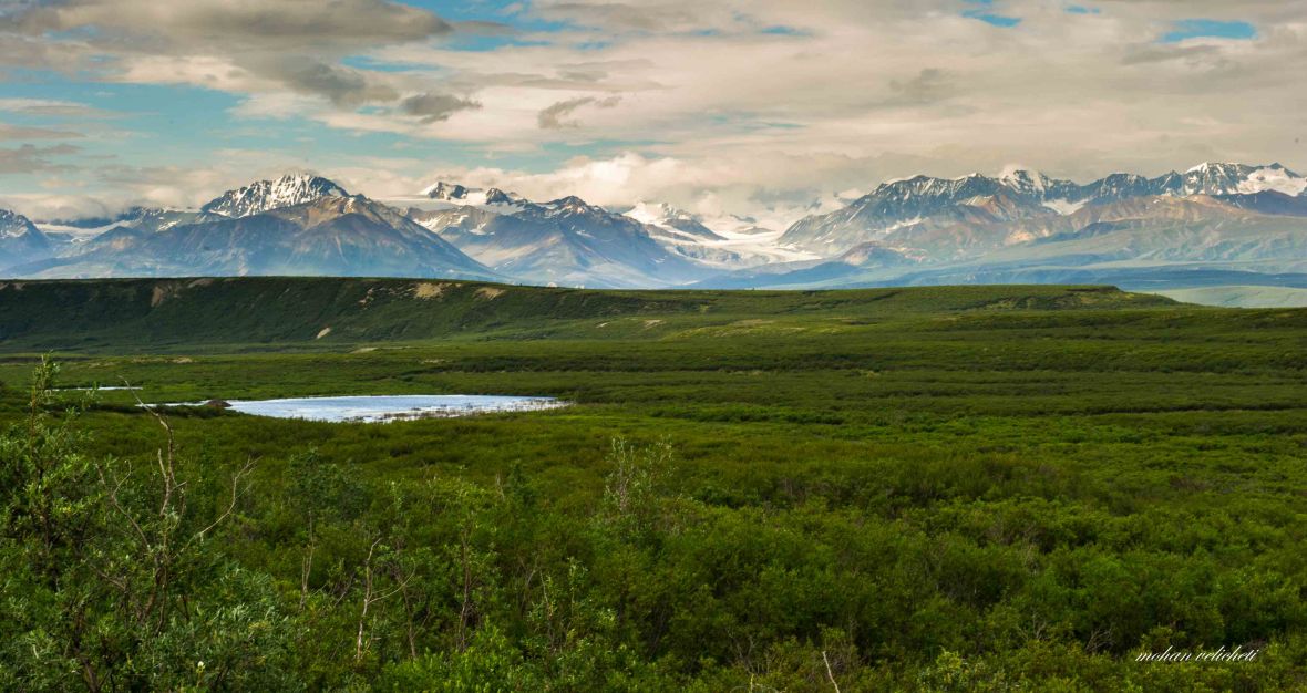
The few scattered farm houses outside Cantwell had, by now, dissappeared, and for good reason, again i was in wilderness. With more miles, the scenic views got better and better.


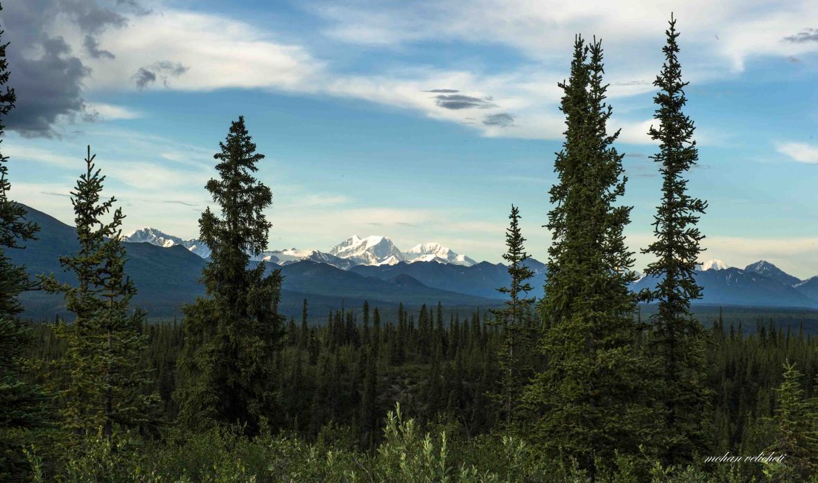 Views of the Alaska range with Mt. Hess and Mt. Deborah.

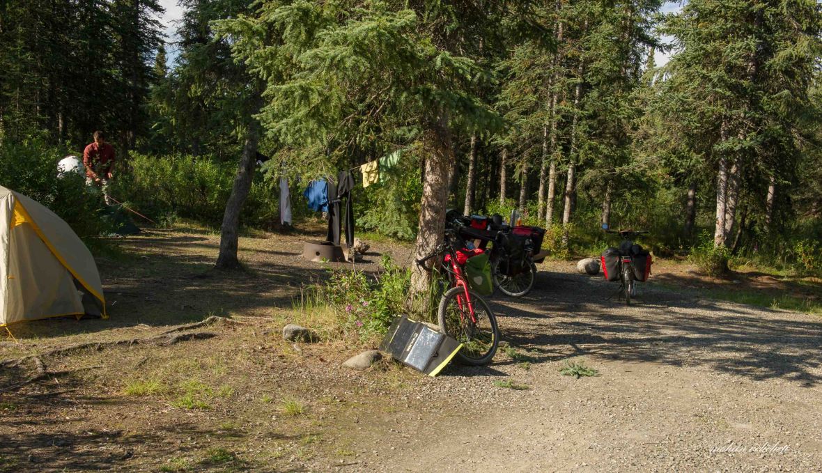
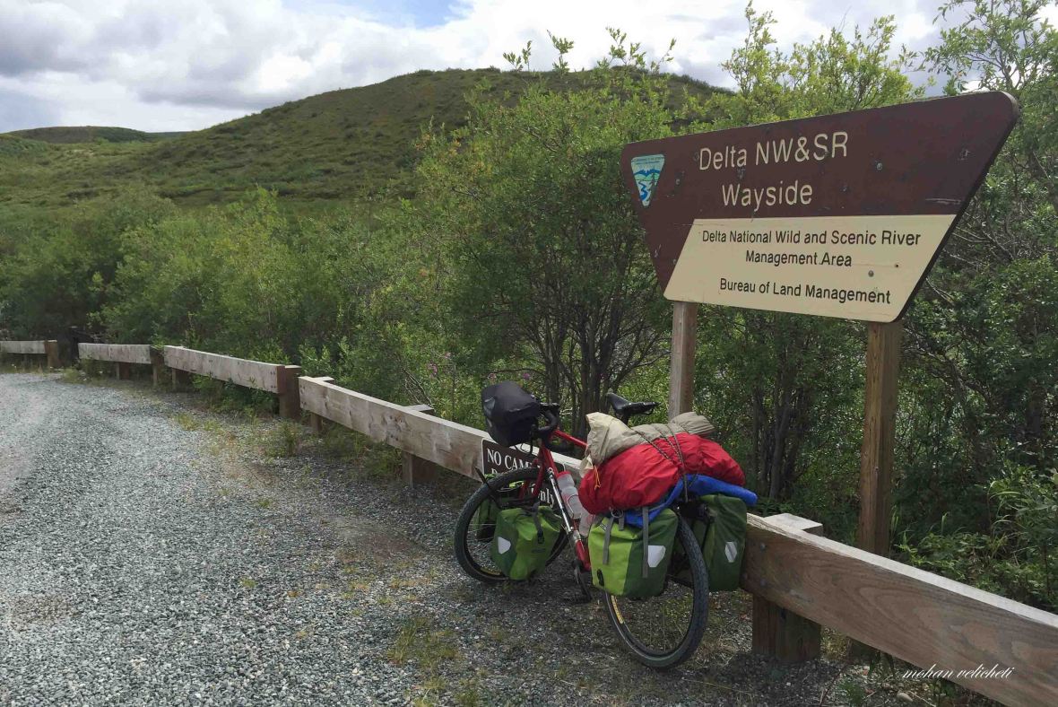
 At around 2300 hours, the Bushkana campground, managed by BLM, appeared at the bridge on Bushkana river. Few RVs were parked, all of them calm with their inhabitants resting by now. Found one campsite with two bicycles. Met Roman, the Swiss cyclist, still outside his tent. Decided to stay with them and i pitched my tent.

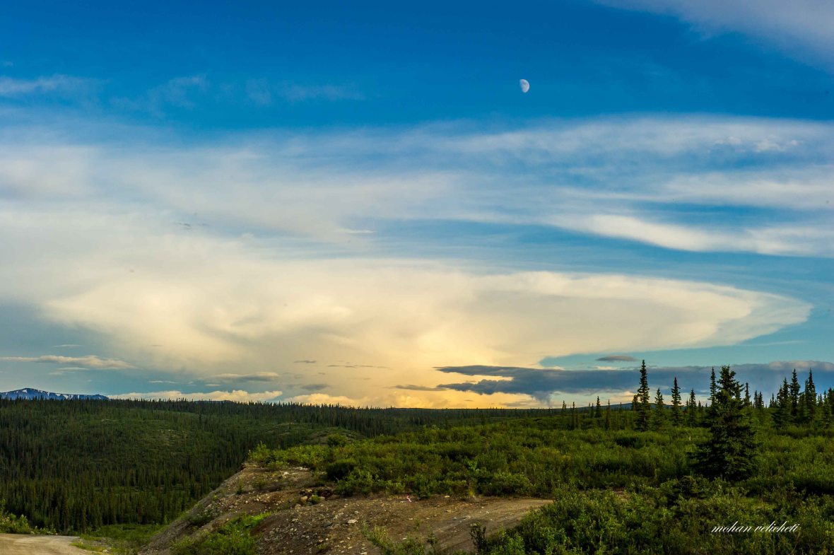
The scenic sunset colours at midnight, as i cooked my dinner. Unfortunately, i was the only one to experience this.

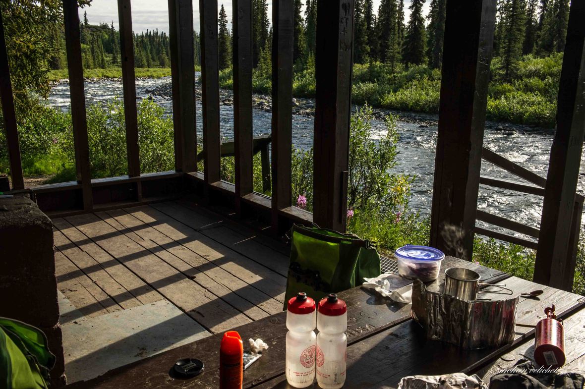
 I appreciate the sense of construction of this shack on the river, with facilities to cook, grill and dine. I took a dip in the cold water and made breakfast while the gentlemen in the RVs started coming out to fish and the ladies out in chair on the river bed with a book.
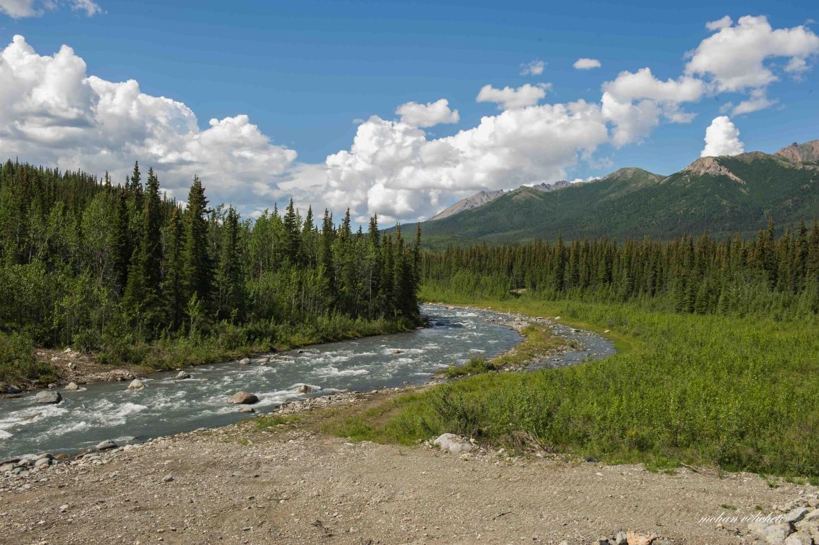
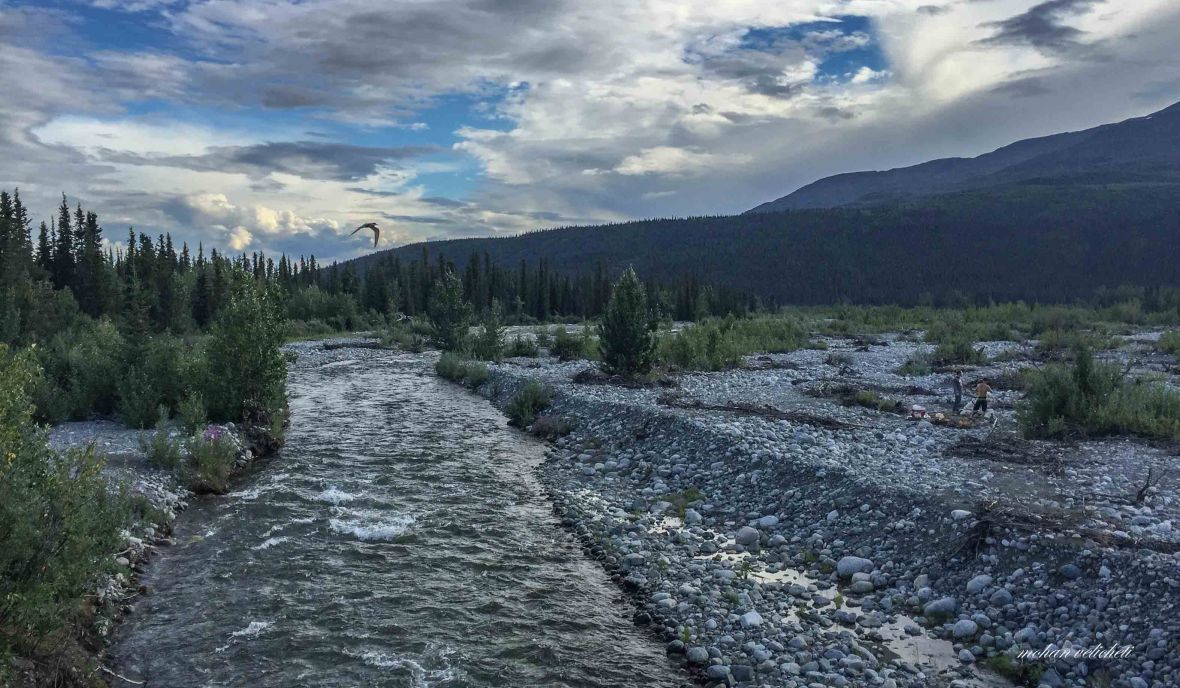
 The Bushkana river.
 At the breakfast table.
 Roman packing up his tent while i was charging the batteries.
 Roman and Martina, leaving after giving me orientation about the remaining part of Denali highway (they are riding the opposite way).
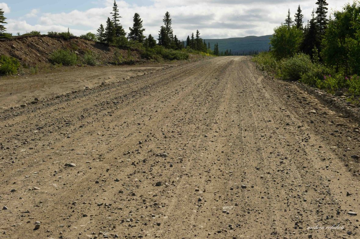 Gravel and washboard continued as i started the day, quite a painful road for a cyclist.
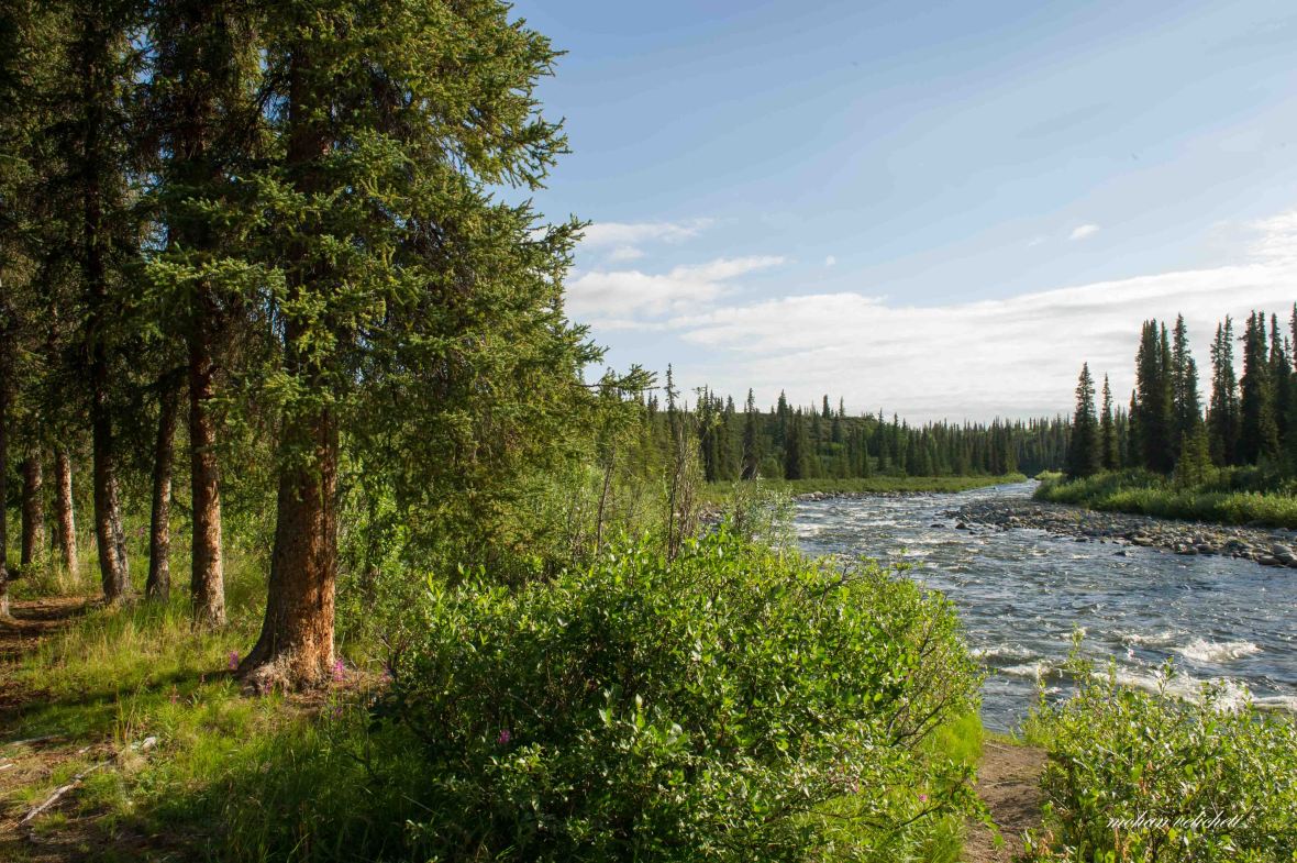
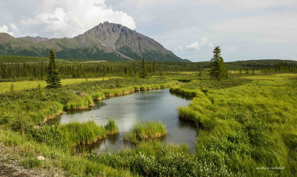
 Soon, the views relieved me from the misery of road, and i almost forgot about the road.
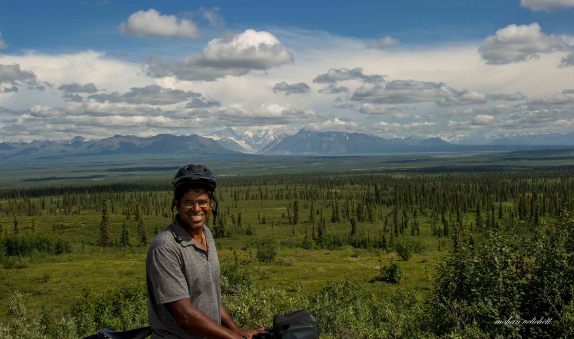
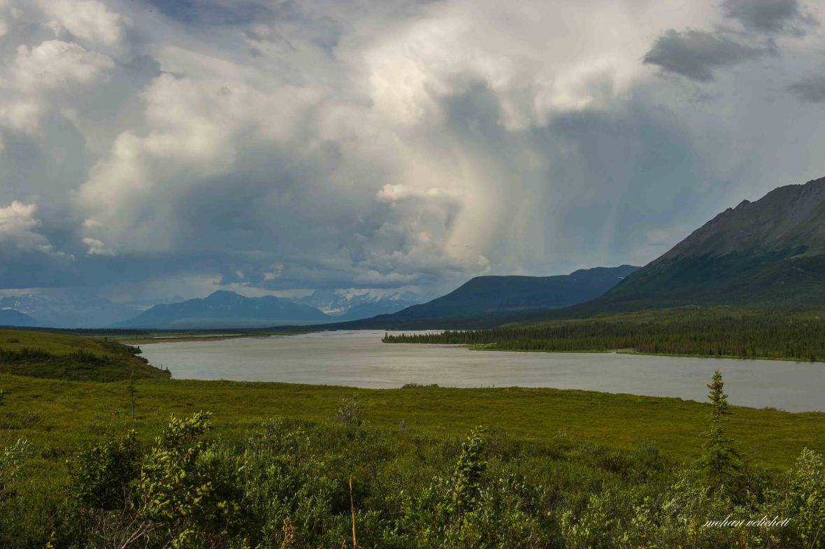
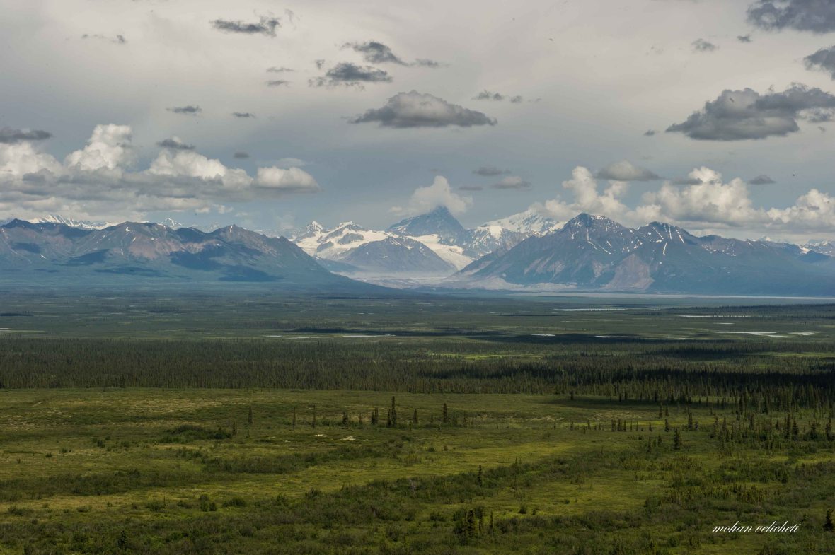 Sushitna glacier and Mt. Deoborah. Sushitna river originating from here flows Southwest into Cook inlet.
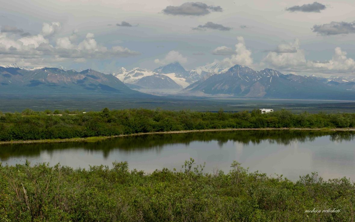 Parked here is Greg’s RV. Greg came to me as i was indulged in the landscape. “I flew over those mountains. Once, i was on full throttle but the plane was going back. The weather is such treacherous there on the mountain.” He survived and now lives in Fairbanks. He spoke about life in Fairbanks and changing lifestyles. He wished me good luck and left towards his RV. Soon, i heard him talking to his wife and son, “that guy is from Bangalore. He rode down all the way from Prudhoe bay.” Felt glad that the family knows where Bangalore is. Soon, he returned with a big glass of water with ice cubicles in it. “It is a hot day. I thought that you need it.” Appreciated his gesture and filled my empty bottle.
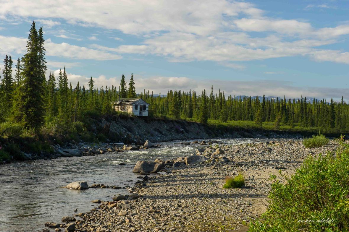
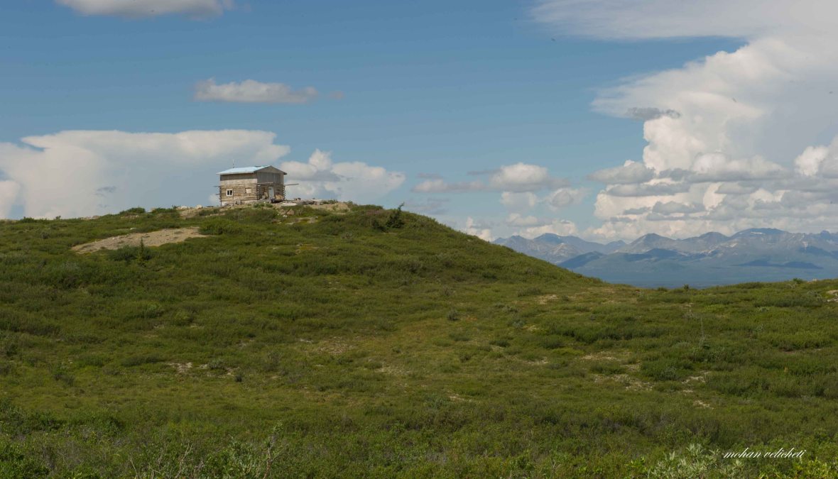 The lonely house.
 Few miles later, i met this couple from Juneau, in their 60s, riding around Alaska this summer.
 Soon, the localised rain was on me.
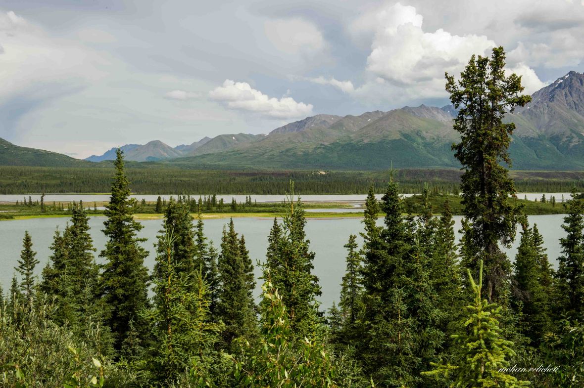 Valdez creek mining area in the background.
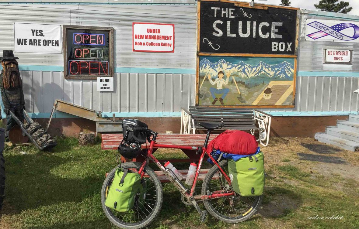 Outside the Cafe at Gracious House Lodge. Finally, one after 55 miles from Cantwell.


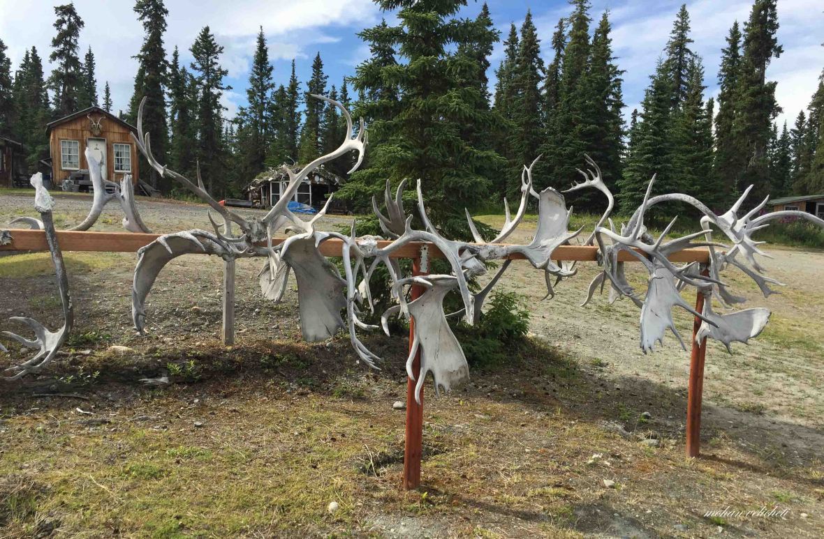 Display of Moose antlers.

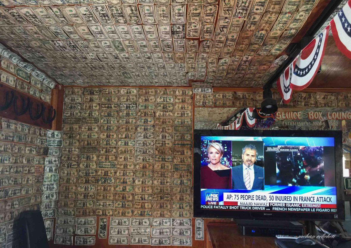
 With visitors signing a dollar bill, i did too.

 Wooden bridge on Susitna river.
 An esker in the distance (mid-ground).
 Old Susitna lodge, closed for years. Many old mining trails around.
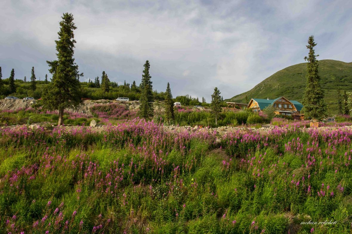 Alpine Creek Lodge at mile 67 from Cantwell.

 After riding that evening with expansive views of miles of spruce forest towards the south, on eskers, kames terraces and along kettle holes, finally settled at this BLM wayside beside Clearwater creek, overlooking the Clearwater mountain.


 road cutting the esker.
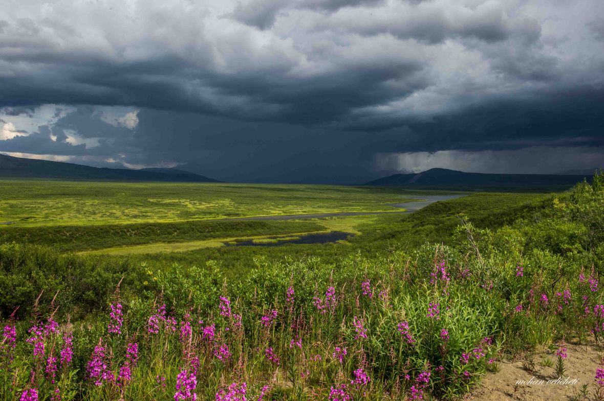 Riding into a storm.

 Crazy notch, a long gap in the moraine cut by a glacial stream.
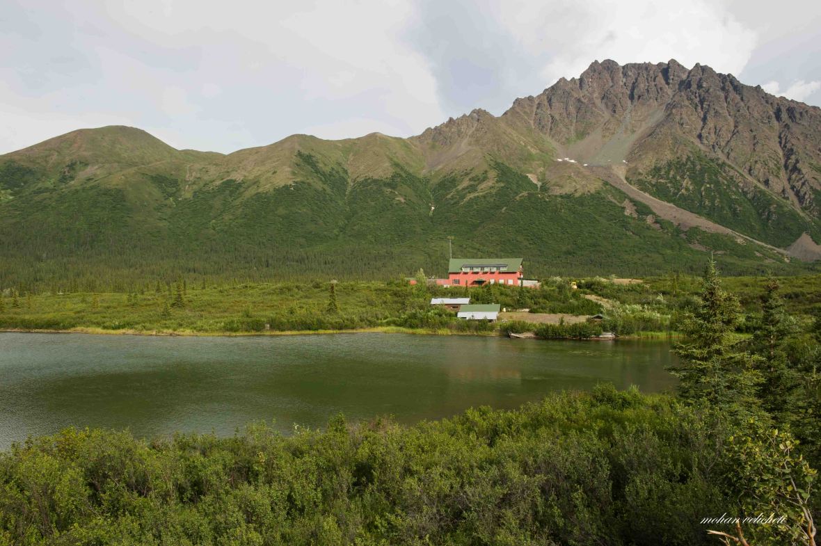
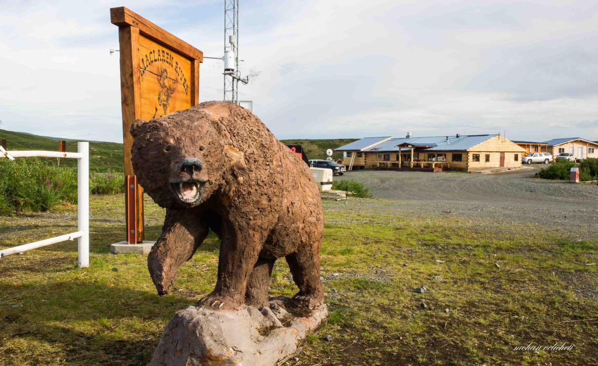 The MacLaren Lodge at the bridge on MacLaren river. Friendly people and ambience.
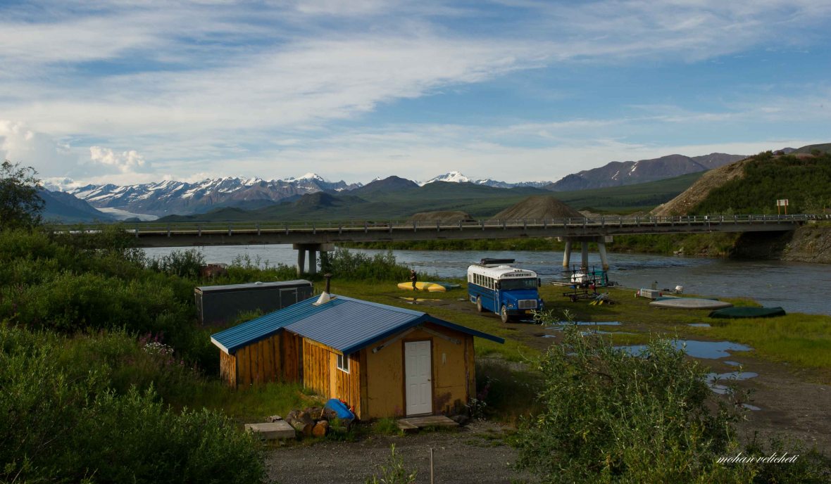 Popular lodge for tourists on this highway, they have rafting and summer camping down the stream.
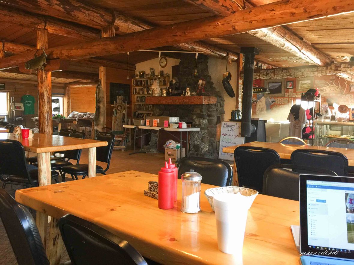 Had heavy lunch, dinner and breakfast. Found the pocket diary forgotten by Martina and Roman.
 Maclaren glacier


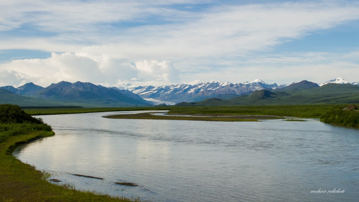 The Denali highway is one such location where you see a glacier and the river of the same name originating from it. Here is the MacLaren glacier and MacLaren river.
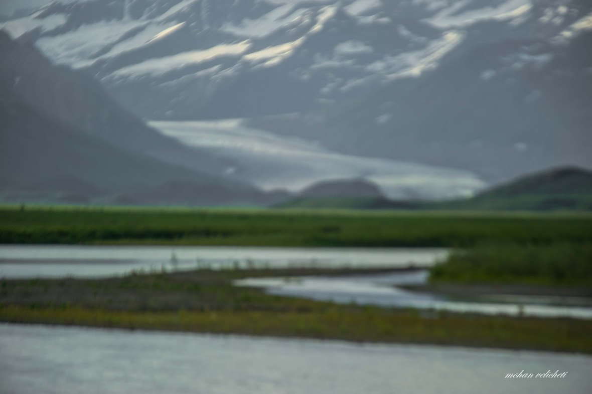 My 70-200mm lens doesn’t focus the distant objects anymore. Need advice.
 Camped on the other side of the road with a view into the valley.
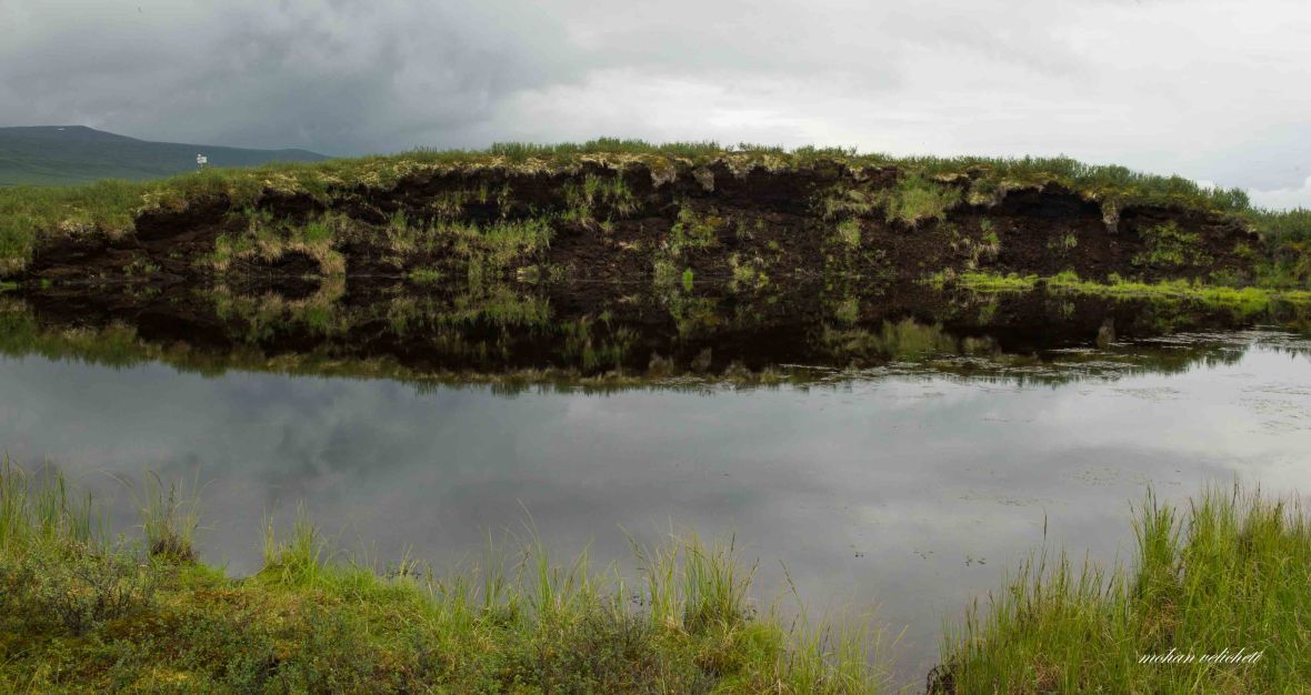 a collapsed Palsa with ice and peat.
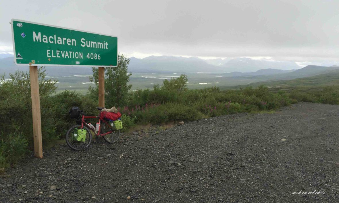 Maclaren pass on a rainy day, missed the great views of the Alaska range. Maclaren Pass is the second highest pass on the Alaskan roads, second only to Atigun Pass that i crossed early in Brooks Range.
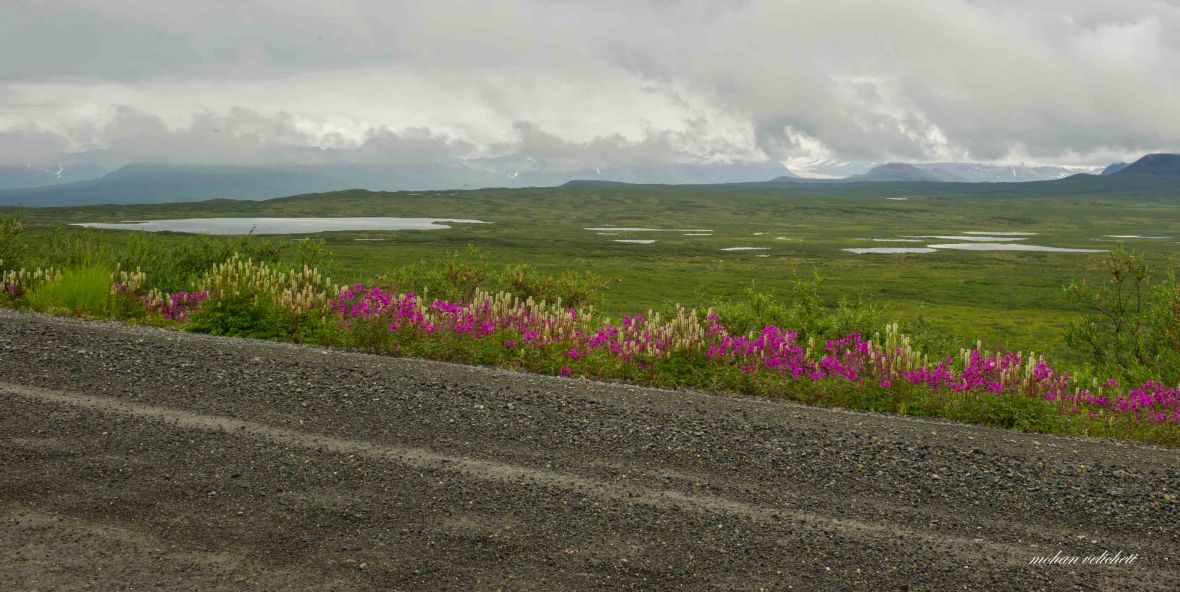 Many kettle lakes
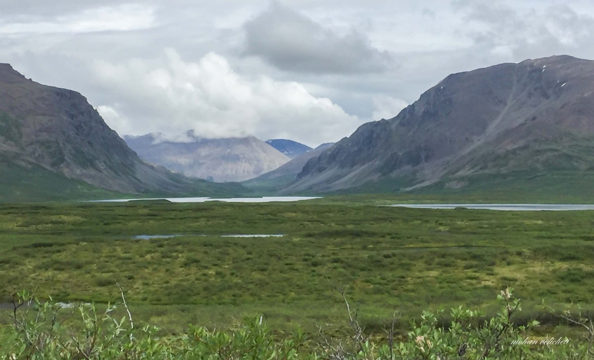 Glacier lake and Glacier Gap.
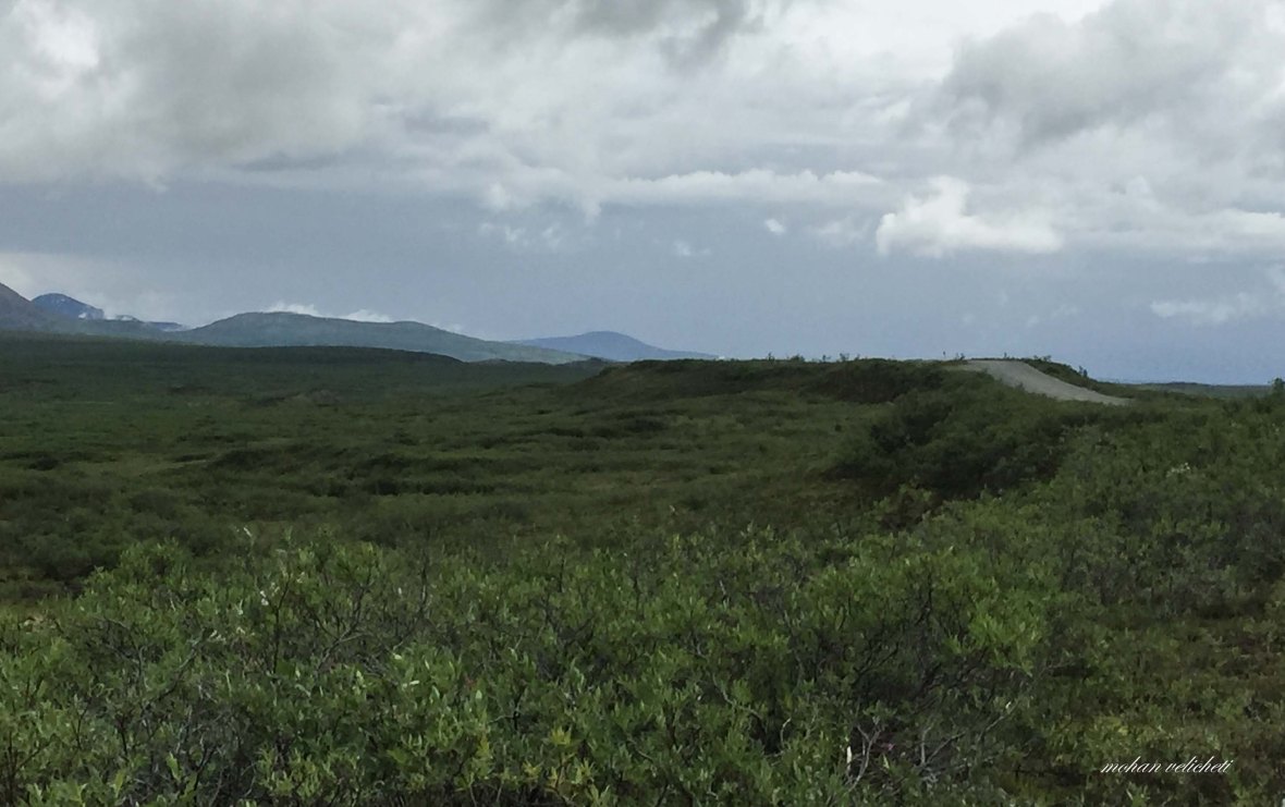 the road continuing on an esker.


 Wish that India has such clean toilets.
 at the Tangle lakes campground.


 Amazing views of Gakona and Gulkana glaciers.
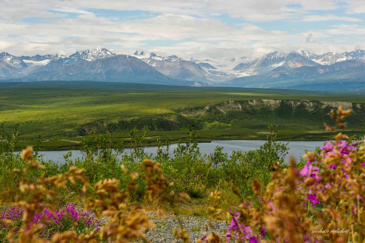

 Tempted to camp with these Alaskans on Paxson creek. But the pleasant weather pushed me to go further.
 At Paxson, the end of Denali highway.
